
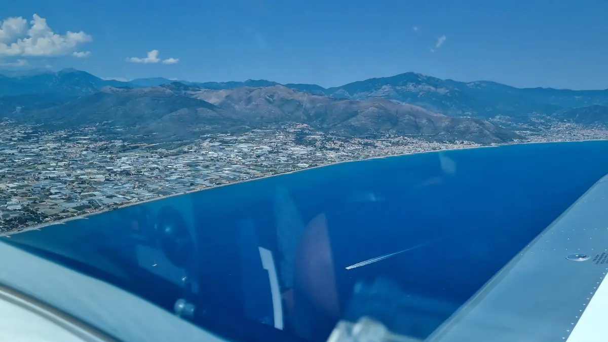
Arriving by air
Everything you need before flying to Riviera Airport (LIMG): PPR, frequencies, reporting points and circuit procedures.
To land at Riviera Airport (LIMG) you must request PPR (Prior Permission Required) from the airport authority, before departure.
We suggest stating aircraft registration and type, planned date and time of arrival and departure, and number of persons on board. According to the AIP, services outside published hours require PPR at least 12 hours in advance; traffic to/from non-EU and non-Schengen countries requires the request at least 3 hours before the flight plan.
1 · Before departure
- Request PPR from ops@riviera-airport.it
- Study the AIP AD 2 LIMG and the aerodrome charts, and check NOTAMs
- Check METAR and TAF for LIMG (or see the live weather below)
- Fuel: JET A1, AVGAS 100LL and MOGAS. Fixed-wing aircraft cannot be refuelled with passengers on board
- The field has particular orographic features: the operator recommends a briefing before operations and publishes information material on its website
2 · Approaching
- Call Albenga Info 123.850: the RMZ is a mandatory radio zone
- ATZ: 3 NM radius, up to 2000 ft AGL
- VFR reporting points outside the ATZ: Ceriale (MGNE1) and Alassio (MGSE1). Suggested altitude 1500 ft AGL inbound and 1000 ft AGL outbound
- Traffic circuit always north of the runway
- No VFR traffic in the ATZ while an IFR departure or arrival is in progress
3 · Landing and ground
- Runway 27: visual straight-in approach («break clouds» procedure). Report runway in sight and, on the LOC LBN at 1.1 NM from DME ALB, «established on final»
- Runway 09: daytime only, after a left-hand circuit north of the runway, not below 1850 ft AMSL and with the runway always in sight
- Daytime approach minima: visibility 5 km, cloud base 2500 ft
- Move to and from the aprons only with the assistance of the Marshall car
- Watch the runway 09 landing video
Source: AIP Italia AD 2 LIMG (AIRAC 2024), published by the operator on aeroportoalbenga.it. It may have been updated: always check the current edition. This page is an aid and does not replace official publications.
Weather at Albenga (LIMG)
The latest airport METAR, read and decoded directly in your browser. It refreshes by itself every five minutes.
Loading the LIMG METAR…
Next 12 hours
Loading the forecast…
This is a numerical model forecast for the airfield area, not a TAF. To plan your flight use the official TAF and the bulletins of the Italian Air Force Meteorological Service.
Wind and clouds over the area
LIMG at a glance
Airport and runway
| Location | Villanova d'Albenga (SV), Italy |
|---|---|
| Elevation | 149 ft |
| Runway | 09/27 · 1432 × 45 m · PCN 52 |
| Visual aids | PAPI on both ends · SALS on RWY 27 |
| Fuel | JET A1 · AVGAS 100LL · MOGAS |
| Fire category | CAT 5 |
| Hours | Summer 08:00–20:00 · winter 08:30–18:30 (local time). PPR required |
Radio and navigation
| AFIS | Albenga Info 123.850 (Italian/English) |
|---|---|
| Approach | Genova Radar 119.600 (119.850 aux) |
| Emergency | 121.500 |
| VOR/DME | ALB 116.95 |
| LOC RWY 27 | LBN 108.90 |
| Transition altitude | 7000 ft |
Landing on runway 09
A useful video to see how the field looks on final, before you arrive.
“LIMG Albenga Landing rwy 09” · video by Francesco Puccinelli on YouTube. The video is not produced by the Aero Club and is for information only: it does not replace the AIP and official charts.
Aeronautical chart of the area
Drag to move the map and use + and − (or the Detail, Airport and Wide area buttons) to change scale: zoom in to read airspace, altitudes, CTAs and reporting points. Use the selector at the top right to switch the VFR aeronautical chart on or off.
Not for navigation. This is an information aid based on OpenFlightMaps community data; for flight use only official charts and publications.
AIP, charts and requests
Published by the airport operator. Files open on the Riviera Airport website.
Who to contact
Riviera Airport · Operations
PPR and handling
ops@riviera-airport.it
info@riviera-airport.it
+39 0182 582 033
ENAV · Airport centre
Albenga ATS
ci-albenga@enav.it
+39 0182 5851201
Aero Club Savona
To fly with us, the school and club activities
info@aeroclubsavona.it
+39 0182 582 919
Ready to come aboard?
Visit us at Villanova d'Albenga airport or write to us: we will guide you through your first flight.